
In 1206, the year of the Tiger, Temuujin managed to unite the Merkits, Naimans, Mongols, Uighurs, Keraits, Tatars and disparate other smaller tribes under his rule through his charisma, dedication, and strong will. An Ikh Khurildai (Great Council) was announced near the Onon River, by proudly raising the state flag. The central state was officially [...]
Home » August 11th, 2007
Entries posted on “August, 2007”
Mongolia Tourist Map
Coming to Mongolia can be a big challenge. Knowing what to bring, how to get there, where to stay, what to see and how to get around is important if you want to make to most of journey. On the tourist map you can find the most frequently visited destinations, attractions and location of tourist [...]
Mongolia Other Maps
Mongolia is mountainous country with an average altitude of 1,580 meters above the sea level. The lowest point Khokh-nuur in the east is 552 meters above sea level and the highest point is the mountain Nairamdal in the Mongolian Altai (in the west) which stands at 4,374 meters. The geography of the country is characterized [...]
Ulaanbaatar City Map of Mongolia
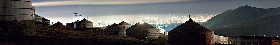
Ulaanbaatar is situated in central east Mongolia. The city spreads from east to west along a large wide valley. The main road through this valley is Enkh Taivny Orgon Choloo or Peace Avenue. The centre of the city is Sukhbaatar Square, from where all other distances are measured. Bogd Khan, Bayanzurkh, Chingeltei and Songino Khairkhan [...]
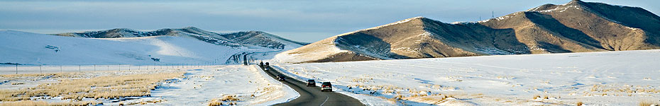
Mongolian Road Map
In Mongolia most of the country side roads are non-paved. Therefore tour companies prefer Russian and 4 wheel drive jeeps to other transportations.
Mongolia Topographical Map
Mongolia is mountainous country with an average altitude of 1,580meters above the sea level. The lowest point Khokh-nuur in the east is 552 meters above sea level and the highest point is the mountain Nairamdal in the Mongolian Altai (in the west) which stands at 4,374 meters. The geography of the country is characterized by [...]
Mongolia Administrative Map
There are 21 administrative units (aimags) in Mongolia. Ulaanbaatar, Darkhan, Erdenet and Choibalsan are the main big cities. Aimags are divided into soums, and soums are divided into bags.
Mongolia Geographical Map
Geographic Situation Mongolia, covering an area of 1,564,100 square kilometers, lies in the heart of the Asian continent. It stretches about 2,400 km from west to east and about 1,260 km from north to south and bounded on the north by Russia and on the southeast and west by China.
Mongolia Location Map
Mongolia is located in Central Asia, bordered its north with Russia and its south with People's Republic of China.
Most Recent