

Geographical Map of Mongolia
 Geographically, Mongolia covers an area of 1,564,100 square kilometers and lies in the heart of the continent Asia. It stretches about 2,400 km from west to east and 1,260 km from north to south. Mongolia is bounded by Russia on the north and by China on the southeast and west.


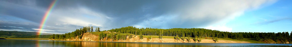
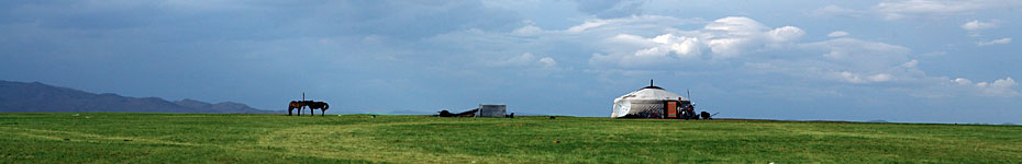
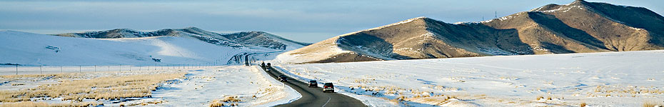
[...] Geographic Situation of Mongolia, covering an area of 1,564,100 square kilometers, lies in the heart of the continent Asia. It stretches about 2,400 km from west to east and about 1,260 km from north to south and bounded on the north by Russia and on the southeast and west by China. Mongolia is mountainous country with an average altitude of 1,580 meters above the sea level. The lowest point Khokh-nuur in the east is 552 meters above sea level and the highest point is the mountain Nairamdal in the Mongolian Altai (in the west) which stands at 4,374 meters. The geography of the country is characterized by great diversity. [...]