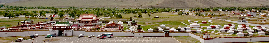
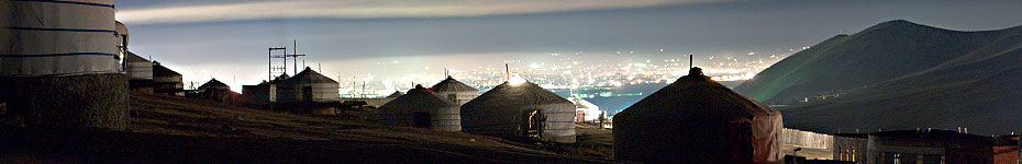
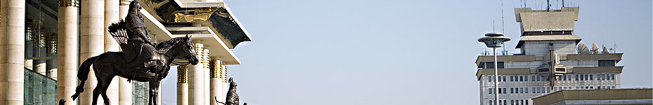
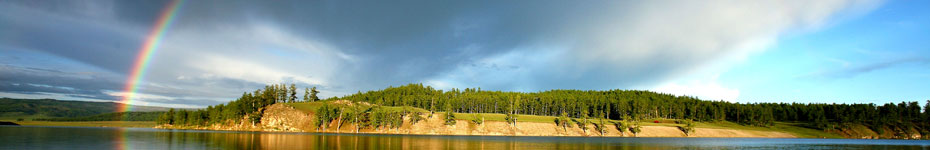
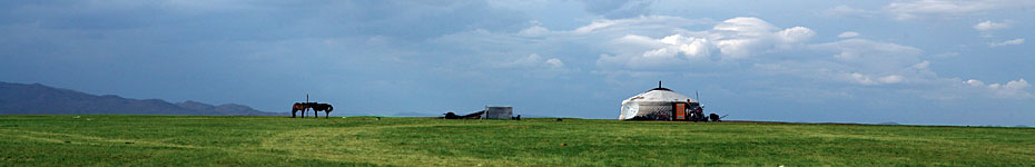
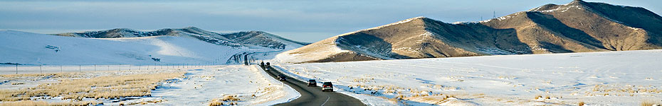
Mongolia is a landlocked country in northern continental Asia bordering with the Russian Federation on the north and the People’s Republic of China on the east. It has a land area of 1.6 million square kilometers, making it the fifth largest country in Asia and the seventeenth in the world. Geographic Situation of Mongolia, covering [...]
Home » geography
You are browsing entries tagged with “geography”
Map of Mongolia
Mongolia is mountainous country with an average altitude of 1,580 meters above the sea level. The lowest point Khokh-nuur in the east is 552 meters above sea level and the highest point is the mountain Nairamdal in the Mongolian Altai (in the west) which stands at 4,374 meters. The geography of the country is characterized [...]