
Mountains in Mongolia
 Mongolia is also one of the highest countries in the world, with an average elevation of 1580m. Mongolia’s highest mountains, The Mongol Altai Mountains are situated in the western part of Mongolia stretching for 600-650 kilometres and were structured by thin hills, hollows and straight precipitous crags, which have a height of more than 4,000 meters. Khuiten peak of the Altai Tavan Bogd Mountain, which is the highest point of Mongolia. The peak is 4,374 meters above sea-level. There are magnificent glaciers in the highest parts of the Mongol Altai range towering over Mongolia, Russia and China, and the humps and hollows of the ice-age period were kept open in Khuvsgul, Khangai, Khentii and Altai Mountains. The far northern areas of Khuvsgol and Khentii provinces are essentially the southern reaches of Siberia and are covered by larch and pine forests known by the Russian word taiga.
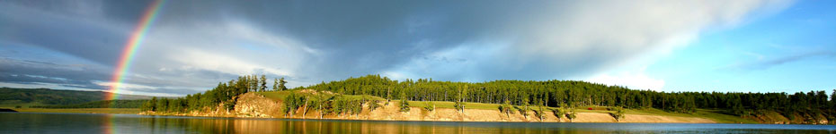
The Mountains surrounding Khuvsgul Lake are analogous with Lake Baykal by their origin. The mountains were formed along cracks between mountains and created by lakes, which are situated along the longitude surroundings of the Khuvsgul and Darkhad Depressions. The Khuvsgul mountains are situated on the northern side of the Khangai mountain range and were formed by Lakes Ulaan Taiga and Khoridol Saridag, 3491 meters above sea level. A zone, which is along the southward latitude, separates the Khuvgul mountains. Rivers of the Tes basin and the river Delger of the Selenge basin flow from the zone to the west and east. This zone was named the 1905 splitting zone after having a strong earthquake along the zone in 1905.
 A wide range of the Khangai mountains with its highest peak, Otgon Tenger, reaching 3905m is situated in the Center of Mongolia. There is a little glacier on the top of the Otgontenger. From the zone, the Bulnai, Tarvagatai and Buren mountain ranges continue from the Khangai ranger and the Khangai mountain is included in the splitting zone.
The Lakes Valley is situated in the thin depression between the mountains at the southward point of the head of the Khangai mountain range. The mountains of the Gobi-Altai continue 600 kilometers at the southward end of the Lakes Valley and were formed by several separate mountains. The highest point of the Gobi-Altai Mountains is the great Bogd Mountain, the height of which is 3957 meters. A wide desert-like depression named Altai Uvur Gobi continues southward of the Gobi-Altai Mountain and it gradually changes to the stony desert zone with dark-coloured desert scraps and stone surface. Mongolian central, southern and Dornod province`s wide steppes continue over 1200 kilometers to the east of the head of the Khangai Mountain range, Lakes Valley and Gobi-Altai Mountain. This wide broad steppe gets lower from the west to the east and its absolute height is 560 meters above sea level.
The zenith of the Khentii Mountain range is the Asralt Khairkhan Mountain, which is 2800 meters high. The mountains, formed by basalt plateau and granite massif, are located in the basin of River Khalkh-gol, at the edge of Mongolia. The valley of River Khalkh-gol and its tributary rivers and steppe with fertile brown and black soil are ideal for agricultural and farming and an important eco-systematic reserve area, which is in its relatively pristine condition.
Just to the north-east of Ulaan Baatar is the Khentii Nuruu, the highest mountain range in eastern Mongolia and by tar the most accessible to hikers. It’s a heavily forested region with raging rivers and impressive peaks, the highest being Asralt Khairkhan Uul (2800m). The range provides a major watershed between the Arctic and Pacific oceans.